You checked the app, drove to the beach and found mush. Here is how to read a surf forecast: look at period first, then direction, wind and tide, and treat height last.
This guide is part of the wider topic of surfing.
| Item | Value |
|---|---|
| Significant wave height (Hs) | Average height of the largest third of the waves |
| Biggest wave compared with Hs | Somewhere near double |
| Wave face compared with forecast swell height | 50 to 100 percent |
| Wind swell period | 5-8 seconds |
| Groundswell period | 13-16 seconds |
These figures come from Carve’s forecast guide and Rapture Surfcamps’ forecast lesson. They are rules of thumb and can change, so check the sources before you rely on them.
What a surf forecast actually is
A forecast is not a measurement. It is a model output, a computer’s best guess at what the ocean will be doing several days from now.
Global weather models such as the American GFS and the European ECMWF produce a picture of atmospheric pressure and wind across the planet, according to Carve’s guide. Wave models then take that wind and work out how much energy it puts into the sea. Apps differ in which model they lean on, how often they refresh and how much local processing they add before showing you a number.
Observations are a separate thing. Wave buoys moored offshore report what the sea is doing right now, and when a buoy and a forecast disagree, believe the buoy.
Swell height: why the biggest number misleads
The height on most forecasts is significant wave height, written Hs. It is the average height of the largest third of the waves passing a point, so plenty of waves are smaller and a handful are bigger. The biggest wave in a few hours of swell will run somewhere near double that figure, as Carve explains.
Hs also describes swell offshore, not the wave breaking in front of you. Rapture Surfcamps puts the wave faces you surf at typically 50 to 100 percent of the forecast swell height, depending on the break. The seabed matters too: a long-period swell will jack up dramatically over a sandbank, while a short, choppy sea will barely change.
Size also has to suit you. Tempest describes 1-2 feet as good for beginners and 3-6 feet as workable for more experienced surfers. If you are new, read up on how to start surfing before you chase a big number.
Swell period: the number that decides your session
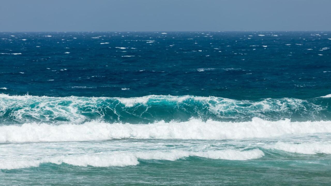
Period is the gap in seconds between one wave crest and the next as they roll past a fixed point. It is the most useful figure on the page and the one people ignore hardest. That is why a 1.5m swell at 16 seconds will break heavier, faster and visibly bigger than a 1.5m swell at 8 seconds, per Carve.
Rapture Surfcamps groups periods like this:
- 5-8 seconds: wind swell. Short, locally generated energy that is choppy, disorganised and weak.
- 9-12 seconds: medium-period swell. The waves start to organise, and decent surf is possible at well-exposed breaks.
- 13-16 seconds: groundswell. Well-organised, powerful, clean wave faces.
- 17+ seconds: long-period groundswell from major distant storms, with serious power and strong currents.
Period also tells you where a swell was born. Longer waves move faster than shorter ones, so a long period usually means a distant storm, while a short one points to wind blowing over your own patch of sea.
One catch: very long period swell can be so spread out that it arrives in long lulls. That rewards patience and punishes anyone on a tight schedule.
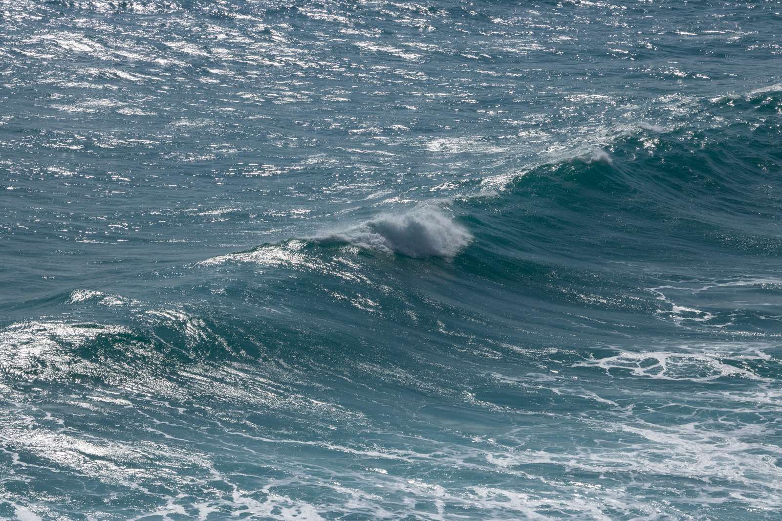
Swell direction: does the energy reach your beach?
Direction is given in degrees or as a compass point, and it says where the swell is coming from. A 290-degree swell is arriving out of the west-northwest. Match that against the way your beach faces: a west-facing beach needs a westerly swell, and a south-facing cove needs a southerly one.
Every break has what Rapture Surfcamps calls a swell window, the range of directions that produce rideable waves. A break tucked behind a headland may only receive swell from a narrow slice of that compass.
Two effects make this less simple than it looks, according to Carve:
- Blocking: headlands block swell and throw a shadow over anything tucked in behind them.
- Refraction: it bends swell as it feels the bottom, so energy can wrap around a point and into a bay it was never aimed at.
This is where local knowledge beats any app. A generic forecast knows the swell direction, but it does not always know the angle at which your beach really switches on.
Wind and tide: what turns swell into surf
You can have the best swell of the season on the chart and still find junk in the water. Wind decides that, and Rapture Surfcamps splits it three ways:
- Offshore: blows from land to sea. It holds wave faces up, creates clean and glassy surfaces, and slightly delays the breaking point.
- Onshore: blows from sea to land. Strong onshore wind can make even a perfect swell unsurfable.
- Cross-shore: blows along the coast. It can be manageable when light but problematic when strong.
Glassy conditions, with no wind at all, produce the cleanest wave faces. Many coasts also see offshore wind in the early morning that turns onshore by late morning or early afternoon, so timing is worth reading as closely as direction.
Tide is the last piece. Some breaks fire at low tide when sandbars are exposed, while others work best at mid to high tide when water covers shallow hazards and gives a more forgiving wave shape. Your spot’s preferred tide is something you learn by going, not something an app can tell you.
A simple routine for reading the forecast
Put the pieces together in the same order each time. It takes a couple of minutes and it stops the height column from running the show.
- Period: is it long enough for the swell to organise, or is it short wind chop?
- Direction: does it sit inside your beach’s swell window?
- Wind: when is the offshore window, and when does it turn onshore?
- Tide: does your spot like the water level at that time?
- Height: last, and treated as a starting point rather than a promise.
Forecasts are not always accurate, so Tempest suggests using multiple sources and local surfing knowledge. Keeping a forecast journal, recording what was predicted against what you found, is the fastest way to build that knowledge, says Rapture Surfcamps.
Once you have picked your window, remember that everyone else read the same forecast. A quick refresher on surfing etiquette will serve you well when the lineup is busy.
Frequently asked questions
What is the most important number on a surf forecast?
Show answer
Period is the strongest candidate. Rapture Surfcamps calls it the most underrated number on the forecast and arguably the most important, because it shapes how powerful, organised and clean the surf will be.
Should I trust a forecast or a buoy?
Show answer
Trust the buoy. A forecast is a model’s best guess, while a buoy reports what the sea is doing right now, so when the two disagree, believe the buoy.
What does significant wave height mean?
Show answer
It is the average height of the largest third of the waves passing a point. Some waves are smaller and some are bigger, and the wave you actually ride depends on the seabed and the period.
What is the best wind for surfing?
Show answer
Offshore wind is the usual favourite because it holds the wave face up and keeps it clean. Glassy conditions with no wind at all also give very clean faces, while strong onshore wind can ruin a good swell.
How can I get better at reading my local forecast?
Show answer
Keep a journal of what the forecast predicted and what you found in the water. Over time it teaches you your spot’s swell window, tide preference and wind behaviour.